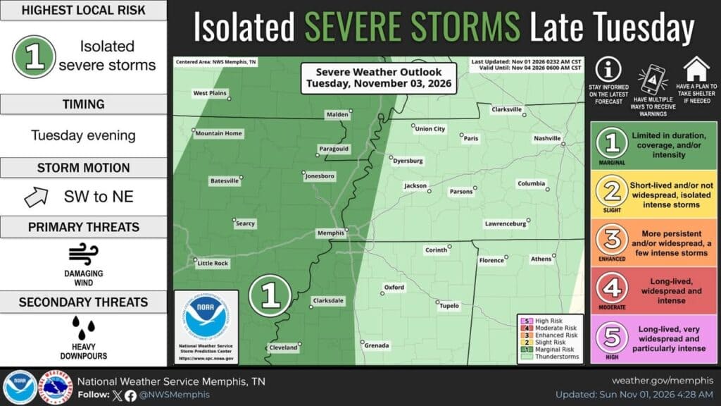
The National Weather Service in Memphis says a deep low pressure system will bring showers and thunderstorms to the Mid-South late Tuesday, with an isolated strong to severe wind gust possible along and west of the Mississippi River. The forecast graphic shows the highest local risk at 1, with storms moving southwest to northeast and the main threat listed as damaging wind, along with heavy downpours.
The outlook is for Tuesday evening and is labeled valid through Wednesday morning.
Warm start to the week gives way to showers and a cool down
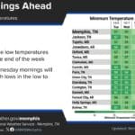
The National Weather Service in Memphis says temperatures will stay slightly above normal through the first half of the week, with highs in the 70s, before showers and thunderstorms return by Tuesday afternoon and evening into Wednesday. The post says a noticeable cool down is expected by the end of the week and into next weekend.
For Corinth, the graphic shows highs of 73 Monday, 77 Tuesday, 73 Wednesday, 72 Thursday, 69 Friday and 66 Saturday.
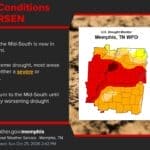
The National Weather Service in Memphis says November started wet, Monday should be mostly dry, and shower and occasional thunderstorm chances will increase again Tuesday. The graphic also warns of a nuisance flooding threat, with some areas possibly seeing more than 2 inches of rain between Tuesday and Wednesday.
The outlook includes a precipitation forecast table for Corinth and other cities, and it was updated Sunday afternoon.
Jon R Myers is the executive editor of Alcorn County News and the founder of the Mississippi News Group, which he started in 2013 to cover communities across North Mississippi. He also founded the Mississippi Sports Group in 2006, which grew from a single community publication into a statewide network covering high school and college athletics. He reports on local government, public safety, schools and community life in Corinth and Alcorn County, working from public meetings, agency records and interviews with the people involved. Contact him at editor@alcornnewsms.com with news tips or corrections. For a correction, include the article link and supporting source material.
Stay connected
Your community. Wherever you are.
Follow Alcorn County News on Facebook for local news from Corinth and across Alcorn County.